Drones and their widening applications have been revolutionising a long list of sectors of society for more than a decade – from aerial photography through to construction and infrastructure inspections, farming, mining and law enforcement.
Using a drone today has greatly improved business and industry efficiencies, in many cases delivering services that traditionally required more expensive and time-consuming helicopter flight.
Impressively, the uncrewed little flying machines and their unique capabilities are doing much more away from their commercial roles – they’re also helping to save lives, particularly through thermal imagery, LiDAR and mapping applications, and their abilities for tricky payload delivery.

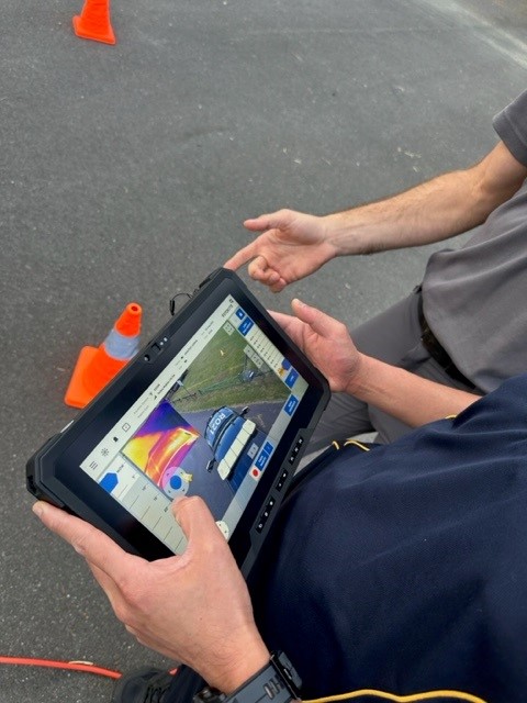
Public Safety Training & Response Group is helping deliver those benefits, offering training courses in Remote Pilot Licencing (RePL)that open up numerous interesting career opportunities for the operators. The company is also the only authorised Australian dealer for the Fotokite Actively Tethered Drone system, which provides video and thermal situational awareness for first responders at emergency situations.
“There really is no section of the community, whether business, industry, government or sport, that isn’t able to benefit in some way by using drone technology,” says Jason Alcorn, Head of Uncrewed Operations at Public Safety Training & Response Group.
As the name suggests, thermal imagery applications detect heat rather than light, providing users with a unique type of information. For example, thermal imagery can help pinpoint the heat source of a fire, it can help find a water or gas leak, and it can assist in the search and rescue of lost humans and animals, particularly at night and after natural emergencies.
In one such case in the USA, a civilian drone enthusiast joined a search for a missing young girl who had wandered away into a forest.
Family members and hundreds of rescue personnel and volunteers were elated when the thermal-enabled drone identified the body heat of the young girl as she cowered in a darkened forest – alone, scared, but found alive! See the VIDEO of the rescue here
Drones that help detect, rescue and assess emergencies
In another example, a cinematographer used his drone with a thermal detection application to find lost pets and animals that were missing after natural disasters – including rescuing koalas and other native wildlife after Australia’s bushfires of 2020.
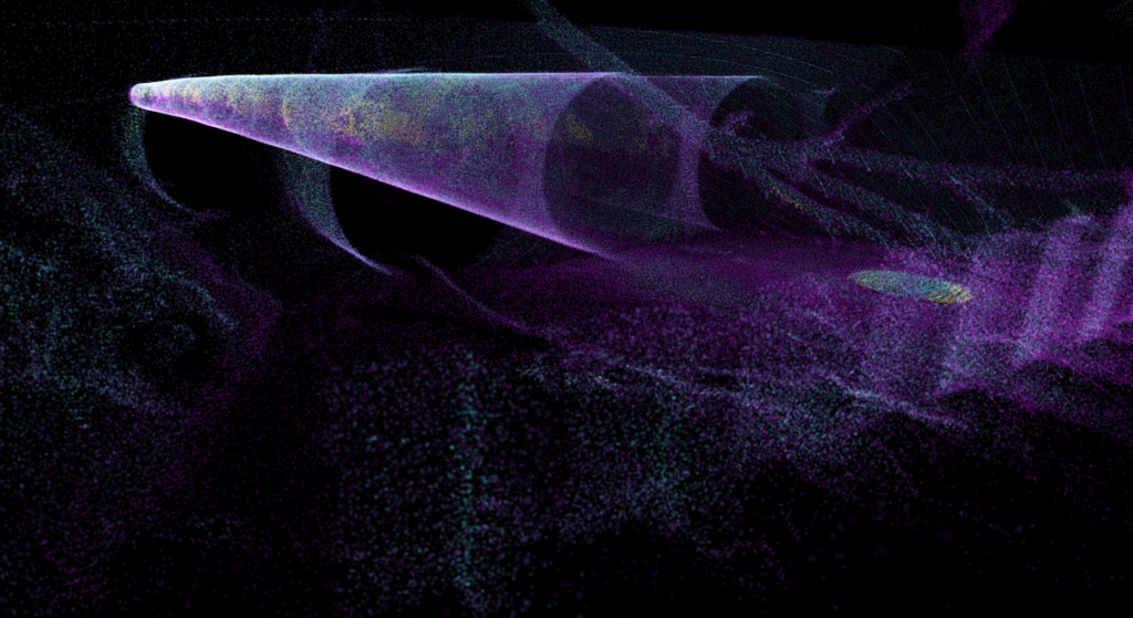
The life-saving value of drones extends to include the use of LiDAR, which is short for Light Detection and Ranging, a technology that harnesses pulsed laser to measure distances and generate data sets that can be compiled to create 3-D maps of a subject area. The traits of these maps can then be assessed to help with emergency planning.
In the case of disaster preparation and response, LiDAR can be utilised to generate detailed topography maps of a landscape to help predict how a bushfire might progress through the region, for example, and to create flood modelling, including calculating the path any floodwaters might take as well as estimating water depth. Preparation planning can then proceed, taking account of that valuable information.

The technology has also been used post-disaster to assess the locations and measure volumes of debris, to help prioritise and coordinate cleanups.
LiDAR mapping has been used in mining to monitor the impact of mining operations to identify any ground anomalies that might indicate issues with stability of the mine site. And equally in defence, where such ground anomalies can indicate hidden threats. Engineers also can use LiDAR to inspect and assess the safety of infrastructure like bridges and buildings.
Public safety response with simple payloads
Further, drone technology can be utilised in public safety response via simple payload delivery.
Public Safety Training & Response Group delivers a wide range of CASA-approved training courses in various drones, including those with payload capacities from 7kg to 25kg.
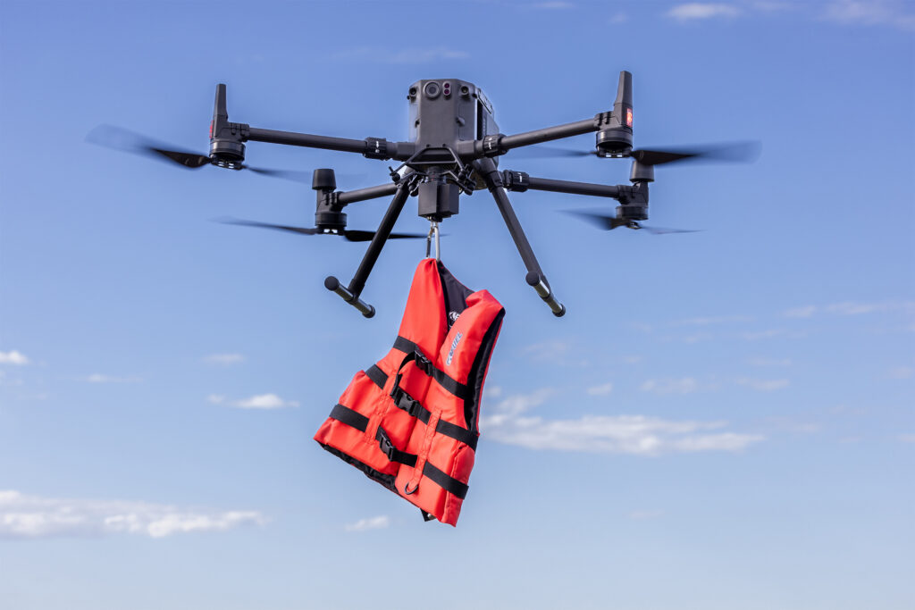
There have been repeated incidents in which drones have been used in lifesaving, utilising their abilities to fly low over rough seas to deliver lifesaving equipment to at-risk swimmers.
As an example, in Spain in 2022, a drone was used to drop a lifejacket to a young teen who was struggling to stay afloat after being washed beyond the breakers. See VIDEO of the lifejacket drop here.
These lifesaving uses of drone technology highlight the unique career potential delivered by our training courses in Remote Pilot Licencing (RePL).
“These applications provide unique imagery and data that improve efficiencies, providing situational awareness helping to improve planning, providing early detection of potential issues and hazards, and are adding to the ever-expanding value and convenience that is offered by drone technology,” Mr Alcorn says.

If you’re considering the use of drone technology to develop your personal or business capacity to prepare and respond to emergencies, contact the team at Public Safety Training & Response now.
The courses deliver instruction in the physical aspects of drone piloting, along with important safety protocols, the effect of weather on flying capabilities, legal guidelines, airspace regulations, emergency procedures, and more. The training meets CASA’s safety requirements, delivers real flying time, and a Remote Pilot Licence (RePL).
While drones were initially used for aerial photography and video, these versatile flying machines are now delivering an ever-growing array of services.
Their applications today extend to also include infrastructure and geographical inspections, emergency and crime scene assessment, radiation detection, infrared photography and surveillance, payload delivery, and in defence. They have also been embraced in farming, mining, construction, by local councils, firefighting, law enforcement, video and film production, sporting franchises and more.
The relatively affordable machines are providing valuable enhancements to traditional industries, with first responders in public safety among those who benefit, providing them with a tool that can help make it easier to do their most important job – saving lives.
To enquire about gaining your Remote Pilot Licence (RePL), (or the Fotokite Actively Tethered Drone system), contact the Uncrewed Operations team at Public Safety Training & Response now.

