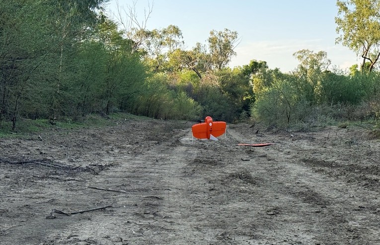
The ever-developing valuable uses of drone technology has extended to a unique project in which aerial photogrammetry has combined with AI to help identify the spread of and calculate the density of an introduced invasive plant species prickly acacia.
The uncrewed team at Public Safety Training and Response Group are using the technologies to support a pilot project launched by a Far North Queensland company to identify, harvest and process the invasive species to create biofuel and generate electricity.
The introduced trees, native to South Africa, have become a pest in Australia – and is being investigated as a potential sustainable source of fuel.
The combination of technologies is providing data that would be practically impossible to calculate by physical ‘on the ground’ inspection.
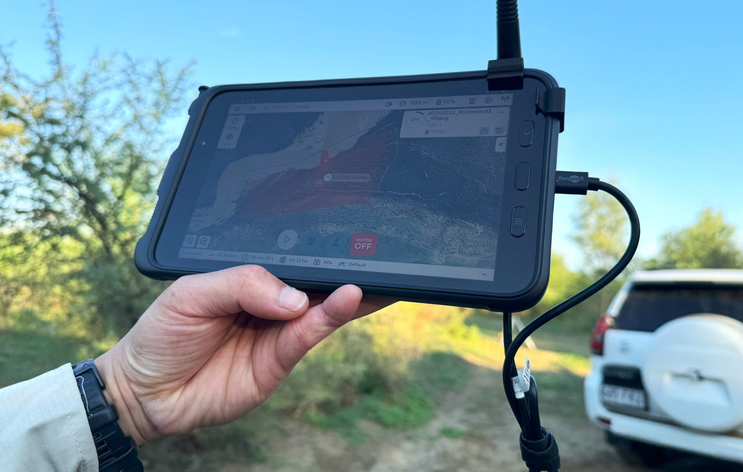
“The goal was to fly over the area and gather imagery to then process and identify the species for see how much biofuel they would potentially be able to produce per square kilometre,” project lead Tara O’Connor, of Public Safety Training & Response Group, explained.
“There’s not a lot of studies out there where they’re using this technology for this sort of application, however it’s used a lot in agriculture for yield estimates for farmers, but this is taking it one step further for environmental purposes.”
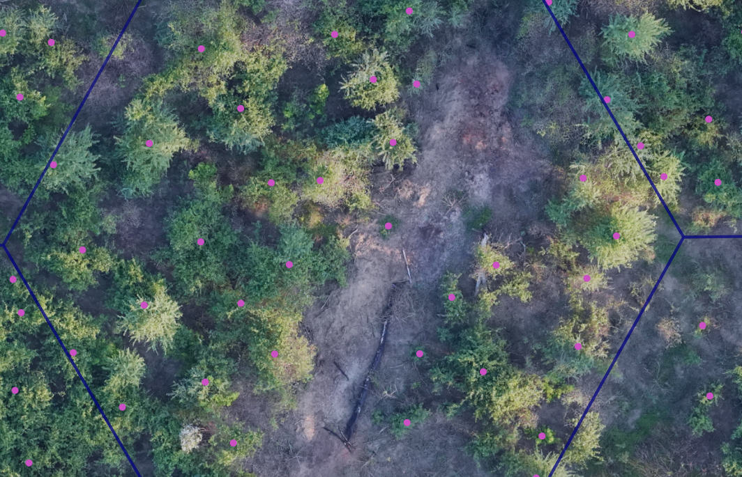
The drones collected high resolution aerial photogrammetry data, that is entered into software application utilising both visual algorithms and Artificial Intelligence to scan the photos, locate the invasive species and calculate volume of the harvestable resource. The accuracy is at around 85% but the team is working to boost that much higher as the AI becomes more proficient at identifying the invasive species.
Public Safety Training & Response Group provides numerous drone solutions for countless problems to wide range of industries including real estate, traffic management, events management, construction, habitat rehabilitation, and farming, through to technical and complex tasks such as inspections of powerlines, buildings, dams, pipelines, bridges and roads, confined space inspections such as inside pipes and sewage systems.
The operations utilise applications such as LiDAR (Light Detection and Ranging) mapping, ground penetrating radar imagery, radiation detection, magnetometer surveys to detect UXO, hidden mineral exploration, and article searches, Law Enforcement Support and payload delivery.
The technology and a wide range of specific applications can help gather accurate and valuable data quickly, improving planning and assessments and ensuring a better result.
For enquiries and advice on how uncrewed technologies can save time and money while enhancing data collection and safety in your industry, contact Public Safety Training & Response.